At every phase – before, during or as-built – of the project, today’s surveyors, engineers, architects and project managers rely on technology to quickly and efficiently gather, manage and use large amounts of digital information. Ozark Laser understands this digital representation of reality and we can work closely with you to recommend the right tools for the application and how to use them.
Surveying
Ozark Laser offers a range of solutions to meet all of your surveying needs.
From fully robotic systems, to reliable two-man optical setups, as well as integrated GNSS receivers, our wide array of surveying products is powered by intuitive software solutions.
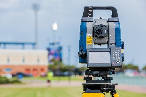
Sokkia iX Series Robotic Total Station
The iX Series robotic total stations are a trimmed down, high- performance solution. You get the efficiency of a single-operator robotic system, the power of long range reflectorless measurements, and performance as a hybrid positioning solution.
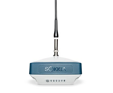
Exceptional Versatility in a compact design
The Sokkia GRX3 is smaller, lighter, and packed with the most advanced GNSS technology in a design built to withstand the harshest field environments. All signals, all satellites and all constellations — in a compact, rugged design, with an integrated IMU and eCompass.
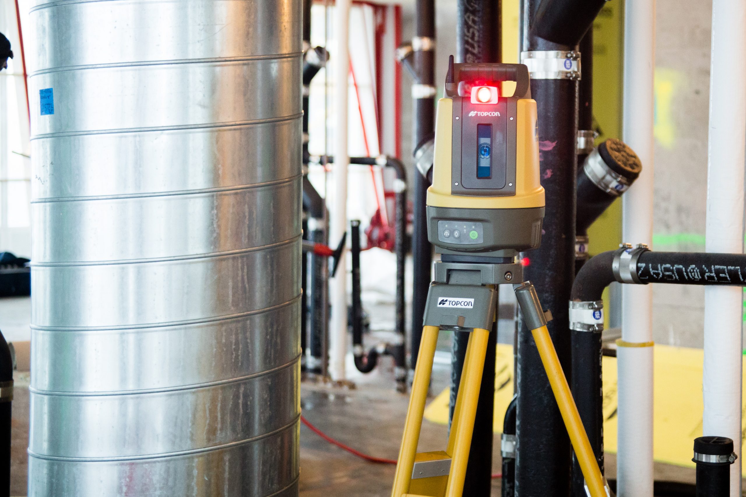
Mass Data Collection
Our range of solutions in mass data capture opens the door to entirely new workflows.
Capture data once, quickly, then interrogate the data at your leisure, on your own at your desk. From original topo, to pre-construction inventories, to as-built documentation, our solutions deliver above and beyond the call.
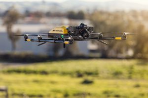
Aerial Mapping
Our lightweight fixed-wing aerial system provides the quickest and simplest path for geospatial professionals to bring aerial photogrammetry in-house.
Mobile Mapping
Topcon pioneered the fusion of imaging and laser scanning, with GNSS and advanced IMU sensing to create mobile mapping technology. Our solutions feature full workflow solutions and robust, tested technology.
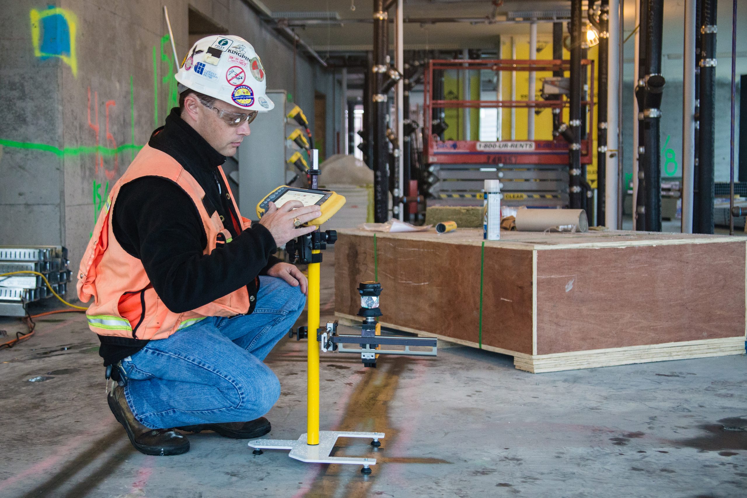
BIM & Layout
Go digital with your layout
Workflow is the most important factor for BIM users. That’s why we provide a complete solution tailored to your needs.
Accurate, reliable and easy to use solutions
Ozark Laser solutions ensure accurate layout as well as reliable as built, in the case of pre-existing parts. The final result is that prefabricated parts fit together properly. For the purpose of laying out complex curves, elaborate architectural soffits and suspended ceilings that require many points and extreme accuracy, our solutions running on a mobile device simplify the process of selecting individual points.
Better oversight and control of your construction process
We provide the right solutions to improve accuracy and control, save time, and ultimately increase profits. Especially for Construction Management Firms and General Contractors that want to improve their workflow and the coordination of projects, teams, and data.